
Bowling Green ZIP Code Directory Coverage
Two verified ZIP labels serve different delivery roles in Bowling Green. The ordinary civic and postal designation is 43402, used by City Hall, the courthouse, and the Wood County District Public Library branch. Bowling Green State University uses 43403, a unique institutional ZIP. The distinction is useful when checking a mailing address, but neither label is a map of city limits, parcel lines, voting geography, or a neighborhood.
| ZIP | Delivery meaning | Postal designation | Record-search caution |
|---|---|---|---|
| 43402 | Standard Bowling Green civic and postal designation; it can extend beyond a legal city line. | Bowling Green | Validate each address with USPS. Mailing ZIP, township, city limit, and parcel can differ. |
| 43403 | Unique Bowling Green State University ZIP; mail bearing it is delivered to campus. | BGSU Postal Services | Institutional delivery geography, not a conventional residential-area ZIP or a means to identify people. |
USPS assigns delivery labels. County parcel records and City Planning answer different location questions. This small, specific ZIP set is a sound starting point rather than a list of presumed subareas.
Bowling Green Postal Labels
The USPS address-to-ZIP lookup is the documented route for checking an individual mailing ZIP. Use a full address there before relying on an old envelope, online profile, or an assumed city label. The result describes delivery addressing. It does not determine whether a parcel is within Bowling Green’s corporation limits, who owns that parcel, or whether any particular person is associated with it.
The assigned USPS ZIP lookup image shows the address-verification source used for this postal check.
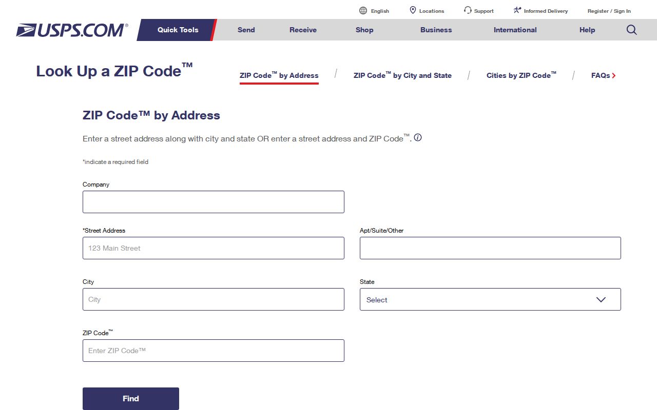
Use this postal check first, then preserve the standardized address with the source and date in your research notes. A later parcel or Planning check may use a different, but equally valid, location identity.
Note: A mailing ZIP is useful for delivery validation, not as a substitute for a parcel identifier or legal description.
Why 43403 Is Not a Boundary
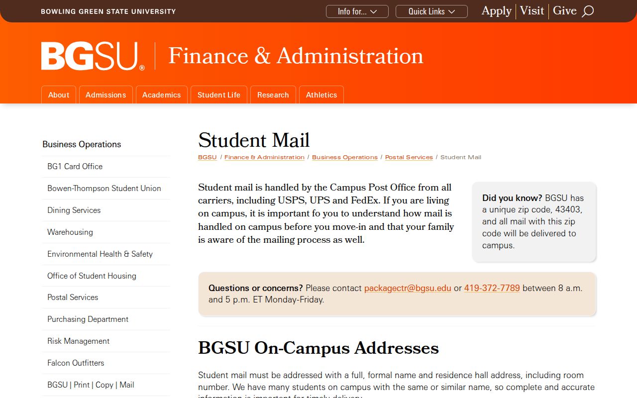
The BGSU Postal Services guidance states that 43403 is the University’s unique ZIP and that all mail bearing it is delivered to campus. That makes 43403 a focused institutional delivery designation. It does not define a city ward, parcel grouping, city limit, or a list of people connected with the University.
The assigned BGSU postal guidance image documents that campus delivery route.
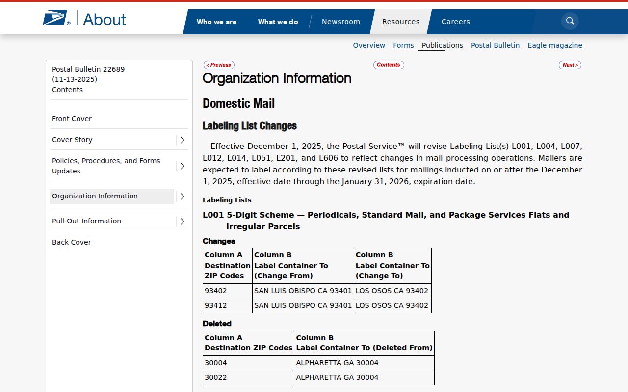
The USPS Postal Bulletin also lists 43403 Bowling Green material as routing to 43402 for container handling. That operational fact does not merge the ZIP labels or change what an individual address means.
The assigned USPS unique-ZIP classification image adds the postal classification context.
For a property question, move from the verified street address to the county parcel record instead of inferring a city or parcel boundary from 43403.
Checking ZIPs in Bowling Green
A ZIP label narrows a mailing question, not a group of residents. The documented workflow keeps the postal check separate from property and election records. It is especially useful around the city edge, where a Bowling Green mailing label, a township location, and a city service question may not all point to the same office.
- Use USPS to verify the mailing ZIP for the exact address. Do not begin from a ZIP-only assumption.
- For an owned property, use the Wood County Treasurer’s documented name, address, or parcel route. Record the Parcel ID and situs address from the result.
- Check the county parcel service or City Planning route for mapped context. Ask Planning to verify zoning when it matters.
- Use a legal description, parcel, party, or document key in Recorder AVA when a recorded land document is needed. AVA’s address and municipality search tabs are disabled.
- When the postal area is narrowed to one street, use the Bowling Green street directory for the address-by-address property workflow.
A voter lookup has a different purpose. Wood County VoterView and the Ohio statewide tool can confirm a specific registration or polling-place relationship, subject to Ohio voter-law limits. They are not documented as ZIP-wide or street-wide browsing tools.
ZIP Filters in Bowling Green Records
Local sources do not document ZIP-wide results for the property and deed systems. The Treasurer verifies name, address, and parcel searching, but does not publish a ZIP-search promise. Beacon’s direct form was blocked during research, so there is no verified ZIP filter, result behavior, or advanced-search control to describe. Recorder AVA’s compiled address, municipality, and reference fields are disabled.
| Official route | Documented key | Useful result | ZIP limitation |
|---|---|---|---|
| USPS address lookup | Individual mailing address | Delivery ZIP validation | Not a person or parcel search. |
| Wood County Treasurer | Name, address, parcel | Tax account and Parcel ID detail | No published ZIP-wide search promise. |
| Auditor-linked Beacon | Property route | Property research path | Live field and ZIP-filter behavior were not verified. |
| Recorder AVA | Party, parcel, subdivision, tract, book/page, date | Recorded-document index | Address, municipality, and reference tabs are disabled. |
| Wood County VoterView | Specific-person registration or polling question | Registration or polling-place relationship | No ZIP-wide roster documented. |
That leaves USPS as the correct first source for an address’s ZIP. A parcel or legal-description search follows only when the question is about property or jurisdiction.
Bowling Green Postal Boundaries
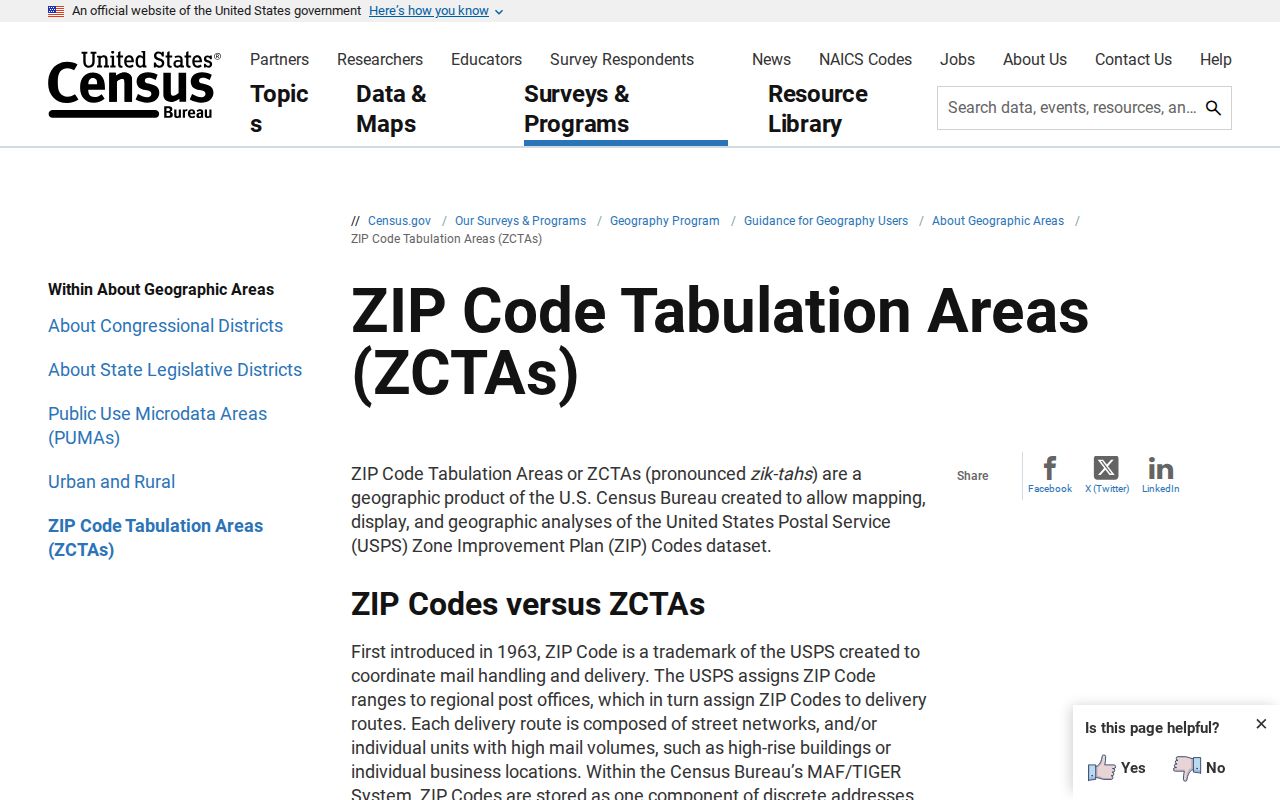
ZIPs are delivery constructs. The Census guidance on ZCTAs explains that those areas are Census approximations built from delivery routes and address points, and that not every ZIP has a ZCTA. A ZCTA is useful for Census geography, but it is not the Postal Service’s delivery boundary and does not decide municipal jurisdiction.
The assigned Census ZIP and ZCTA guidance image shows why postal labels must be distinguished from Census approximations.
For a city-limit question, use the City Limit Map, county parcel map, legal description, or Planning jurisdiction information. A 2022 Nims Road and Center Township annexation example shows that municipal geography can change. No ZIP change should be inferred from that annexation.
Bowling Green Address Identities
One address can carry four separate geographic descriptions. The delivery ZIP supports postal routing. A situs address is the physical location in the Auditor, Treasurer, and GIS systems. A mailing address is the place for tax correspondence and may differ from the situs. A legal description is the lot, block, subdivision, or metes-and-bounds identity used in recorded instruments. County Planning can also assign rural and platted-subdivision location addresses outside the city.
The Bowling Green zoning route lets a user select a parcel for zoning context and asks users to call Planning at 419-354-6218 to verify a classification. Wood County Planning assigns rural and platted-subdivision addresses at 419-354-9128. A Bowling Green mailing label can therefore belong to a township or incorporated-city location, while the same parcel remains identified through county land records. Keep the postal, municipal, and land-record answers distinct when a property sits near an edge.
- ZIP
- A Postal Service delivery label assigned to a mailing address. It does not settle city jurisdiction or parcel identity.
- ZIP+4
- An added delivery detail used with a ZIP. It refines mail routing, not a legal property boundary.
- Unique ZIP
- A ZIP used for a single institution or organization. BGSU’s 43403 is Bowling Green’s documented example.
- Carrier route
- A mail-delivery grouping. It is a postal operational term, not a neighborhood, municipal, or property boundary.
- Legal description
- The Recorder’s land identity, which helps track a parcel when an address, plat, or parcel shape changes.
When a property is near a line, record the Parcel ID and legal description, then ask City Planning or County GIS to verify the map context. Bowling Green Planning lists 419-354-6218 for zoning verification, while Wood County Planning assigns rural and platted-subdivision addresses at 419-354-9128.
Postal Labels and Property Records
A mailing ZIP is a valid address field, but it does not replace the property trail. Start with the postal check, then use the Auditor-linked Beacon or Treasurer route for the address and Parcel ID. From there, the county GIS gives parcel context and Recorder AVA connects an identified parcel or legal-description clue with document parties and dates. A tax mailing address is not a person’s current physical address.
For an older property, the legal description may bridge a split or combined parcel better than the modern street label. City Planning’s historic-property guidance warns that later deeds can reconcile earlier descriptions with “now known as” language. Sanborn maps, a dated directory or phone book, newspaper mentions, and the actual deed provide stronger continuity checks than a match on ZIP or street number alone.
Note: Use each source for the location question it answers, then verify any consequential fact with the county or city office that maintains it.
Limits of Bowling Green ZIP Code Directory
Postal validation can clarify why 43402 and 43403 differ. It cannot create a ZIP-wide household list, establish city residence, reveal private records, or show every person connected with a postal area. Public offices can redact protected information, and the Safe at Home program protects qualifying participants through substitute-address procedures.
Ohio Public Records Act requests under Ohio Revised Code §149.43 should identify the government record being sought, such as a plan or parcel record. They do not turn private household information into a postal search result.