
Bowling Green Neighbors by Record Type
The public trail for Bowling Green neighbors is a block-and-parcel trail. County maps identify parcel geometry and adjoining parcel IDs. The Auditor and Treasurer provide property and tax-account context for a specific parcel. Recorder AVA can add a document party, legal summary, and date after the parcel or legal description is known. Board of Elections tools are for a specific voter or a formal records request, not a public browse of the people on a block. Library and archive sources offer historical context when a named collection supports it.
| Local source | Block question it can answer | Access and hard limit |
|---|---|---|
| County parcel GIS | Parcel edges, adjoining parcel IDs, roads, and corporate-limit context | Map services; interactive controls must be confirmed in the live tool |
| Auditor or Treasurer | Owner-of-record and tax/property fields for an identified parcel | Name, address, or parcel route; not a household list |
| Recorder AVA | Recorded party and document history linked to land records | Parcel or legal-description route, not address lookup |
| Board of Elections | Specific registration relationship or formal list request | Protected fields and use rules apply; ballot choice stays private |
| WCDPL, CAC, or WCOGS | Historical community and address context in identified collections | No verified current neighborhood member directory |
Owners and occupants are separate questions. A recorded owner can have a different mailing address, a trust or business can appear in the record, and one property account cannot identify everyone who lives at the site. For a full named-street record path, use the Bowling Green street directory rather than expanding a nearby-parcel question into a wider personal search.
Mapping a Bowling Green Block
Use the adjacent-parcel method for a narrow block question. Start with the known address in the county GIS or city map. At the boundary of its parcel polygon, write down the separate parcel IDs for physically adjoining polygons. Then check each identifier on its own in the Auditor or Treasurer route. If a title or transfer question remains, take that parcel, lot-and-block, subdivision, tract, or legal-description clue to Recorder AVA. The method documents neighboring parcels without inventing a tool that automatically produces a neighbor roster.
- Locate the target address or parcel in the relevant county or city map.
- Identify each parcel polygon that physically touches the target parcel and record its parcel ID.
- Check each ID through the Auditor or Treasurer property route, keeping property address and owner-address fields distinct.
- Use AVA only for a documented land-record question, such as a transfer, plat, restriction, or recorded party role.
- Stop once the parcel or document question is answered. Do not seek unrelated personal data.
Wood County’s official parcel service has map layers for overview, addresses, roads, parcels, and corporate limits. The printed map inventory documents fields such as Parcel ID, property address, owner, owner address, acreage, district, and tax description. Its tax-description warning is important: title evidence comes from the Recorder’s instrument, not a map label.
Bowling Green GIS Parcel Context
The Bowling Green GIS hub adds city map resources, including land-use context. The city zoning page says a user can select a parcel in its interactive map to see zoning, with Planning as the verification contact. That is useful for understanding a parcel’s municipal context. It does not settle title, determine a postal ZIP, or show who occupies a home. The county’s Beacon map and the official ArcGIS parcel service provide the county-scale parcel route.
Bowling Green GIS is the municipal map starting point shown below.
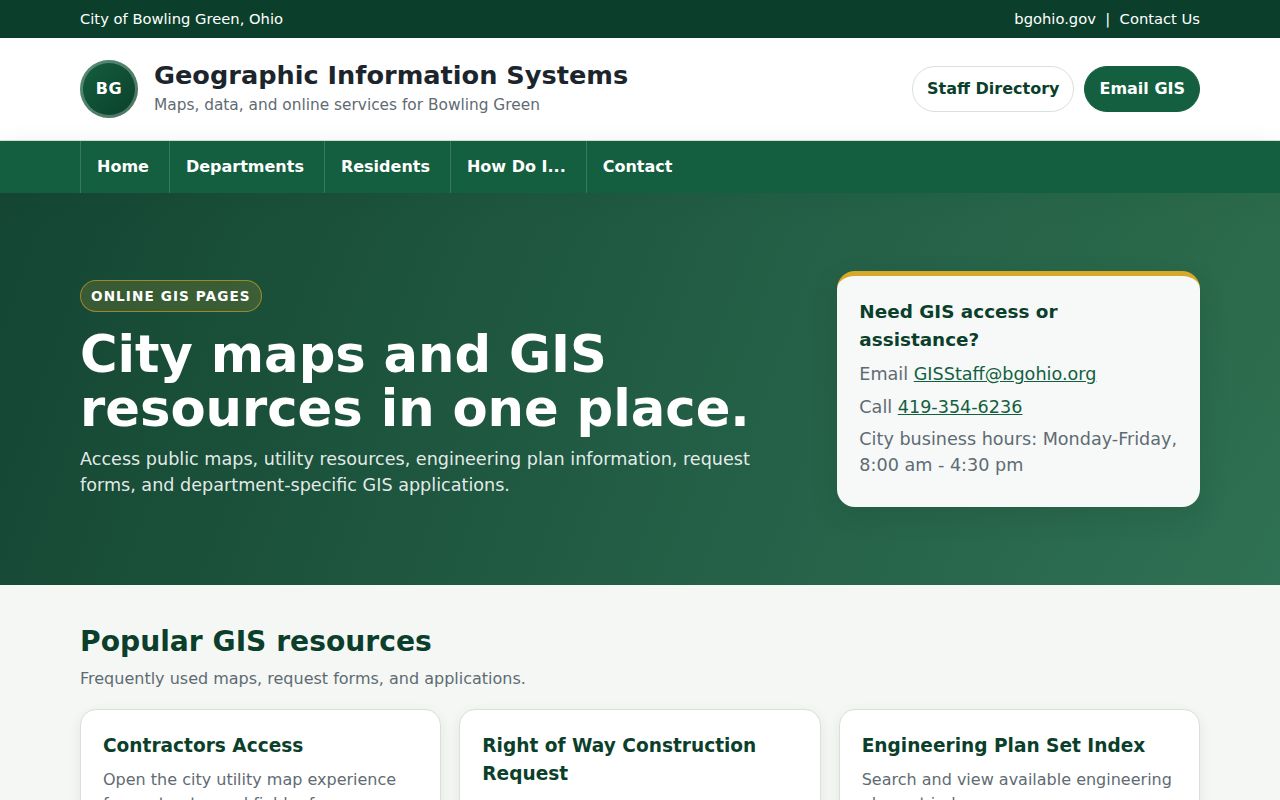
When a map display and a record disagree, keep the parcel number and ask Planning or County GIS about the map layer, then use the recorded legal description for title evidence.
Bowling Green Neighbor Parcel Records
The Wood County Treasurer documents property lookup by name, address, or parcel. For an address search, the office advises starting with the house number and street name, and omitting the street type if needed. A returned Parcel ID links to detailed account and tax-bill data. This is the safest local route for checking a parcel already identified on a map. It should not be described as confirmation that the owner currently occupies the property.
The owner-address field is a tax and contact field. It can be a post-office box, business location, representative address, another property, or a Safe at Home substitute address. Keep it separate from situs, the physical street-address locator. Compare a recorded transfer’s legal description before deciding that two property records refer to the same land, especially where parcels have split or combined.
The Treasurer’s local search route illustrates the address, name, and parcel entry point.
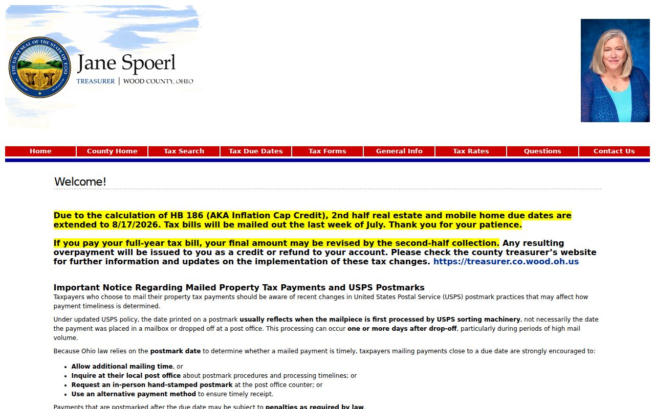
The Parcel ID supplied by the property route is the bridge to account detail and, when necessary, to the Recorder’s document index.
Documents Around a Bowling Green Block
Recorder AVA is a party and document index, not a current-address neighbor search. Its active local routes include party name, date range, document number, document type, book and page, parcel, subdivision with lot and block, and tract fields. The address, municipality, reference-number, and quarter-quarter tabs are disabled in the present Wood County configuration. That limitation is why a parcel ID or legal-description clue must come first.
Once a suitable document is found, AVA can display document number, type, recorded date/time, Party 1, Party 2, and legal summary. A detail can add book/page, parcel, subdivision, tract, associated documents, and other index context. Read a deed, plat, easement, mortgage, release, restriction, or transfer document for the actual land question. A name in any one of these records proves a documented party role, not a personal relationship with people on the adjacent parcel.
The Recorder’s free property-fraud alert is an official notification service for documents indexed to chosen name criteria.
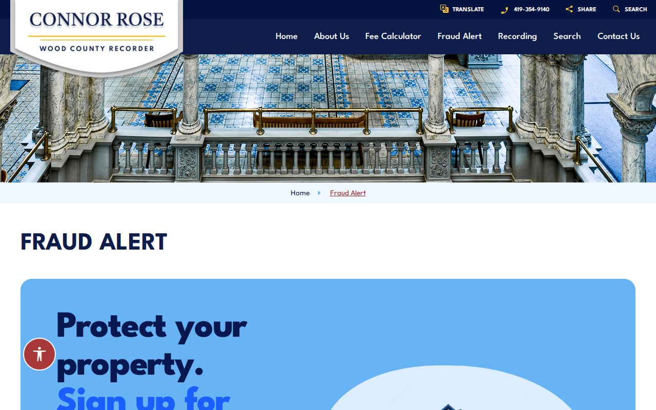
An alert is not title insurance and an apparent match still needs verification with the Recorder and the underlying document.
Bowling Green Neighbor Voter Limits
Wood County’s VoterView tools check a specific registration and polling-place relationship. They are not documented as a public method for browsing the voters around a block. For an appropriate voter record or list, use the Board of Elections’ formal Lists, Labels & Electronic Files request route. The documented prices are free for electronic Word, Excel, or PDF files, $5 for a USB, $0.25 per printed page, and $0.50 per page for mailing labels, plus pre-paid mailing when applicable.
Ohio R.C. 3503.15 and R.C. 3503.23, Board rules, and Safe at Home protections limit how voter information is handled. A voter record is never a permission slip to infer ballot choices. Daily absentee files describe participation or mailing administration, not votes. If a person believes a specific registration is missing or wrong, the Board of Elections is the source of record.
The Board’s request page is the documented alternative to trying to build a street-wide list from a one-person lookup.
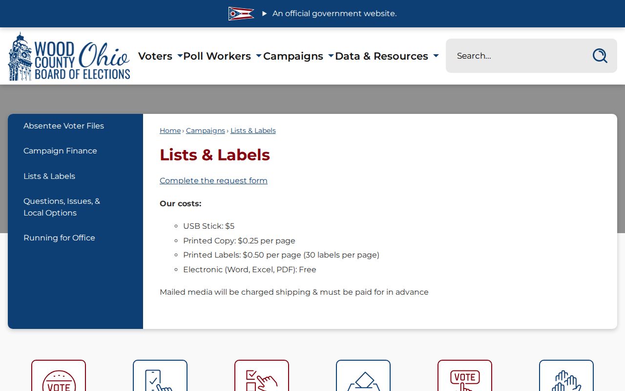
A request should identify the official record sought and respect the Board’s current field, fee, and protection rules.
Bowling Green Community Directory Gap
No official comprehensive Bowling Green neighborhood-association member list, HOA roster, block-watch participant list, or citywide current civic directory was verified in the research. That absence matters. Council wards and city maps are civic geography, not a way to compile personal contact details. Historic police references to block-watch support also do not establish a current membership roster.
| Community research source | Appropriate local access | Verified limitation |
|---|---|---|
| City Council and ward geography | City map and official civic information | Shows municipal context, not member names |
| WCDPL Local History | City directories, phone books, newspapers, and staff help | Historical material, not a current association directory |
| BGSU CAC and WCOGS | Specific finding aid or collection request | Access depends on a named collection; no broad roster is confirmed |
For a block-history question, use Sanborn sheets, recorded transfers, plan references, newspapers, and a verified printed directory year to understand how the physical block changed. The Library of Congress makes a 14-sheet 1915 Bowling Green Sanborn set available, while WCDPL provides a separate library route for broader Sanborn research.
Official Sources for Bowling Green Neighbors
Official parcel and Recorder records identify their keeper, date, and the limited fact they record. A commercial neighbor-search category may combine data of uneven age or accuracy and can blur a property owner, mailing contact, and occupant into one result. Use the county source for the particular property or document relationship. If the map route does not answer a defined historical question, the appropriate next stop is a library, archive, or focused public-records request, not a broad personal profile.
| Official parcel-and-record route | Commercial neighbor-search category |
|---|---|
| Names a custodian, parcel, document, date, and access boundary | May merge sources with uneven update dates and unclear provenance |
| Can be checked at the Auditor, Treasurer, Recorder, Board, library, or archive | Cannot replace verification with the source that holds the record |
| Separates owner, party role, registration, and historical publication evidence | May encourage unsupported assumptions about personal connections |
Privacy Limits for Bowling Green Neighbors
Public parcel records do not list every person at an address. Utility customers, motor-vehicle personal information, protected voter information, Safe at Home addresses, and confidential court material are not block resources. A missing record can reflect a protection, an index boundary, or a different custodian. Do not try to overcome those boundaries by collecting unrelated data from several sources.
Lawful use. Ohio R.C. 2903.211 prohibits menacing by stalking and related conduct that causes fear or mental distress. Do not use information about Bowling Green neighbors to stalk, harass, threaten, or harm anyone.