
Bowling Green Address History Sources
Past residents are found through record sets with different time boundaries. A deed chain follows recorded land transfers, not every person connected with a building. A dated directory or census can offer a historical household clue, while Sanborn sheets show the building footprint and street setting. The right starting source depends on the period and the question. Preserve the parcel identifier and legal description because they link the sources when a street label is not enough.
| Source | Years it covers | Where held | What it adds |
|---|---|---|---|
| Recorder AVA index | Electronic index from 1980 | Wood County Recorder AVA | Document parties, type, recorded date, and legal summary |
| Recorder Deed Index | 1821 through 1893 | Historic indexes, Documents-On-Demand, or counter | Early deed party and book route |
| Miscellaneous and Lease indexes | 1821 through 1969 | Historic indexes and Recorder routes | Related historical instruments |
| WCDPL cataloged city directories | 1897 and 1914 confirmed | WCDPL | Dated printed name and address lead after volume inspection |
| Federal census and Sanborn maps | Census through 1950; maps from 1884 to 1915 listed | Library research channels and Library of Congress | Household snapshot or building and street context |
Use the Recorder sequence when the task is land history. Use an actual printed directory or census page when the task is a historical household question. Neither source should be stretched beyond what it says.
Start a Bowling Green Past Resident Trail
For a known Bowling Green address, begin with the county property route, not a loose surname result. The Wood County Auditor real-estate page links to Beacon, and the Treasurer documents property searching by name, address, or parcel. Treasurer guidance recommends a minimum house number and street name, with street type omitted when a search fails. Record the returned Parcel ID, situs address, legal-description clues, and any separately displayed owner and mailing fields.
A situs address locates a property. A legal description identifies the land in the recorded system. The mailing field can be different from the property location, so it is a tax or contact clue rather than proof of current physical presence. The county's printed parcel-map inventory lists Parcel ID, section/township/range, property address, alternate ID, class, acreage, owner, owner address, district, tax description, and data-upload information. Its tax description is not a legal document.
Note: Capture the parcel number and legal description before comparing names, because they are the best bridge across older records and changed parcel boundaries.
Bowling Green Deed Index Limits
Wood County Recorder AVA is a recorded-document index with electronic data from 1980. Its public results can display document number, document type, recorded date and time, Party 1, Party 2, and legal summary. A detail record can add document date, book and page, parties, parcel, subdivision, tract, notes, delivery-to information, UCC data, and associated documents where configured. A listed person appeared in a document role. That is not a claim about a complete household or a present address.
The key local limitation matters to previous-resident research: Wood County has disabled AVA's compiled address, municipality, reference-number, and quarter-quarter tabs. Do not try to force a street number into AVA. Use the parcel, subdivision with lot and block, tract, book and page, party name, document number, type, or date after the property record supplies a legal clue.
The Recorder historical-index coverage page is shown below. It demonstrates why a straightforward online name search cannot replace the older book-index and counter routes.
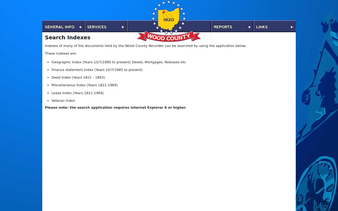
Move from the parcel clue to a recorded instrument, then read the legal description in that instrument before deciding it belongs in the same address history.
Trace Bowling Green Previous Residents Through Deeds
The deed chain is the backward ownership route for Bowling Green past residents. Start with the apparent current owner from the parcel record and locate the purchase document through AVA or the Recorder's older indexes. Read the legal description and grantor. Search that earlier party in the appropriate role to find the prior purchase, then repeat while the legal description remains consistent. A chain can have gaps, overlapping index eras, trusts, estates, plats, or combined parcels. Record each document number or book and page rather than assuming a seamless line.
- Find the identified parcel in the Auditor or Treasurer route and save the Parcel ID, legal description, and latest owner-of-record field.
- Search AVA by the active parcel, subdivision, tract, party, book and page, or document fields to locate the latest transfer.
- Read the transfer instrument's grantor and legal description, then identify the prior acquisition for that earlier party.
- Repeat only when the land description, lot and block, or plat evidence supports the same parcel history.
- When the trail predates AVA, move to the historic index books, Documents-On-Demand route, or Recorder counter.
- Grantor
- The party giving or transferring an interest in a recorded document.
- Grantee
- The party receiving that interest in the document.
- Chain of title
- The sequence of recorded transfers tied to the same land description.
- Legal description
- The recorded land identifier, such as a lot, block, subdivision, tract, or other land description, used to match a property across records.
A document can show title history. It does not by itself establish every person who lived at the site during that period.
Bowling Green Historic Index Books
AVA is only one index era. The Recorder lists a Deed Index for 1821 through 1893, Miscellaneous and Lease indexes for 1821 through 1969, and Geographic and Finance Statement material from October 7, 1985 forward. AmeriScan Documents-On-Demand is the public path for maintained physical-book index browsing. Its research environment access was restricted, so no claim should be made about a specific folder's contents without inspecting it. The Recorder office retains the underlying records and can explain the book, page, and copy process.
Copies cost $2 per page under the Recorder's published request information. A request needs an instrument number or book and page, and staff will not review a document to decide which content is relevant. Laredo Anywhere is the stated account-based route for high-volume image access. These are complementary channels, not a single database with complete images for every result.
For an address history that crosses 1980, write down the transition point and test both index paths. This prevents a past-resident trail from stopping merely because a modern portal's earliest year has been reached.
Map Bowling Green Past Addresses
Parcel continuity is the main address trap. Bowling Green Planning's historic-property guide notes that parcels can split or combine, and a newer deed may carry a “now known as” description that reconciles earlier land language. No authoritative evidence of a citywide street-renumbering program was found. Do not invent one to make an older number match a new parcel. Instead compare plats, lot and block, legal description, a Sanborn footprint, historic maps, and the nearest supported directory or newspaper reference.
The Library of Congress identifies Bowling Green Sanborn editions for 1884, 1888, 1893, 1900, 1908, and 1915. The 1915 series contains 14 sheets and is publicly available. WCDPL also provides a card-authenticated Ohio Sanborn route. A sheet can date a building footprint or use, but it cannot identify a household on its own. City Planning permits and the engineering-plan index can add project or alteration timing when an actual file is requested.
Note: When the map and the recorded land description disagree, keep the map as context and verify the title question through the Recorder and county offices.
Bowling Green Previous Residents in Print
Who lived here before is a different question from who held title. WCDPL's catalog confirms Bowling Green city-directory volumes for 1897 and 1914, while its Local History collection confirms city directories and phone books without publishing a complete annual run or a verified street-order collection. The Ohio Genealogical Society Library separately holds selected years from 1966 through 1997, and the Cleveland Public Library microfilm guide covers 1930 and 1947 through 1959. The Bowling Green city directory page identifies the repositories and the limits of those holdings.
Pair one available directory year with the closest open federal census and the correct newspaper title for that period. Federal census schedules are open through 1950 under the 72-year schedule. WCDPL's historical newspaper material reaches back to 1866, but the title changed across the period, so Bowling Green Sentinel, Wood County Sentinel, Sentinel & Gazette, and Sentinel-Tribune must be searched as separate title runs.
The useful process is directory year to census date to newspaper title to mapped address. Each source supplies a dated clue, and the record of where the fact was found matters as much as the name itself.
Bowling Green Previous Residents at Endpoints
When the deed and publication trail reaches a death, estate, or memorial lead, use the custodian that holds that particular record. Wood County Probate provides estate, guardianship, will, marriage, name-change, adoption, and historic vital-record routes, with a public area that includes paper and electronic dockets, a public terminal, a microfilm reader and printer, and staff during weekday hours. Sealed, adoption, juvenile, and otherwise protected material remains outside ordinary access.
WCOGS has a searchable cemetery database covering 55 cemeteries and reporting 99,203 records. WCDPL's obituary service directs requested copied pages or research to WCOGS and states a $2 copied-page cost. The city historic-property guide also points to WCDPL, WCOGS, the Museum, Ohio Memory, Auditor and Recorder help, and BGSU CAC. These sources can add a historical endpoint or family-history lead, not a reason to contact private people.
Lawful use. Use Bowling Green address history for personal, family-history, property-context, or civic research, and never use records to stalk, harass, or harm any person.
Bowling Green Preservation Records
Bowling Green's historic-property guide is a local bridge between a building and the records that explain it. It directs researchers to library directories and phone books, maps, property records, WCOGS material, Ohio Memory, the Museum, and BGSU CAC. The Ohio Memory Wood County collection is shown below as one of those digitized regional routes. It provides images and documents, not a complete address index.
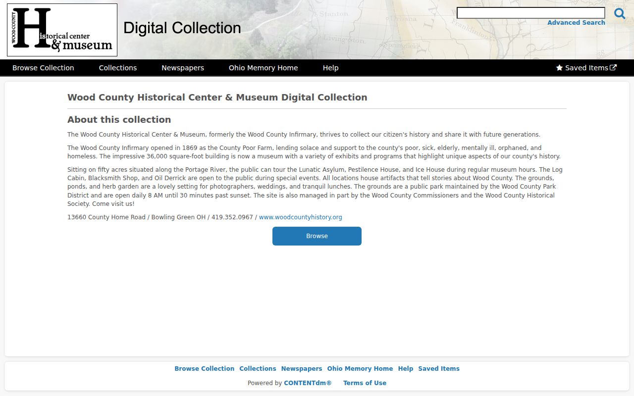
In January 2026, the Historic Preservation Commission adopted a plan identifying possible surveys and historic-resource inventories for 2026 through 2028. That is a preservation signal, not a completed searchable database. Use the named present-day keeper for a specific address, year, or record type.